Browse Items (16 total)
- Collection: US Government Foundation
Sort by:
The Declaration committee
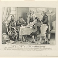
Print shows members of the Declaration Committee (left to right: Thomas Jefferson, Roger Sherman, Benjamin Franklin, Robert R. Livingston, and John Adams) working at a table.
A general map of the middle British colonies in America
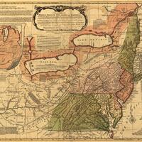
A general map of the middle British colonies in America, viz. Virginia, Maryland, Delaware, Pensilvania, New-Jersey, New York, Connecticut & Rhode-Island: Of Aquanishuonigy the country of the confederate Indians comprehending Aquanishuonigy proper,…
The United States of America laid down from the best authorities, agreeable to the Peace of 1783.
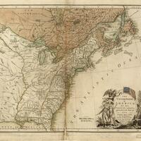
Map depicts the United States in 1783
The Declaration of Independence
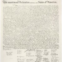
The document was a formal declaration of independence for the former English colonies who manifested into the United States of America
The Articles of Confederation
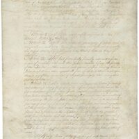
The Articles of Confederation layed out the original plan for government in the United States of America.