Browse Items (57 total)
Sort by:
A proper family re-union
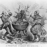
Confederate President Jefferson Davis is shown stirring a "Treason Toddy" cauldron with Benedict Arnold .
Declaration of Independence, July 4th, 1776
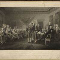
Print depicts Continental Congress in the midst of signing the Declaration of Independence
The tempter and the traitor--the treason of Arnold on the night of September 21, 1780
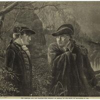
19th Century depiction of Arnold and Andre' meeting in the cover of night to discuss the plans for stealing West Point.
A general map of the middle British colonies in America
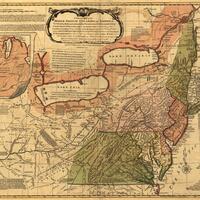
A general map of the middle British colonies in America, viz. Virginia, Maryland, Delaware, Pensilvania, New-Jersey, New York, Connecticut & Rhode-Island: Of Aquanishuonigy the country of the confederate Indians comprehending Aquanishuonigy proper,…
Colonel Arnold
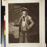
Portrait of Colonel Anrold gesturing towards Quebec, Canada.
The Declaration of Independence
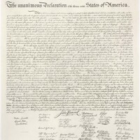
The document was a formal declaration of independence for the former English colonies who manifested into the United States of America
Order of Congress signed by John Hancock to Benedict Arnold Esq. to be appointed Major General (anastatic facsimile)
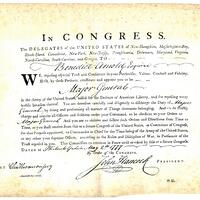
Arnold's official appointment of Major General by the Continental Congress. On April 28, 1777, Arnold almost single-handedly stopped the British from raiding the American supply post at Danbury, Connecticut. His heroic actions prompted Congress to…
Valley Forge, 1777. Gen. Washington and Lafayette visiting the suffering part of the army
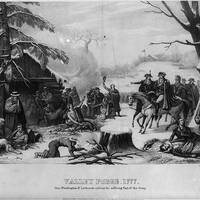
Print shows George Washington and the Marquis de Lafayette on horseback, visiting soldiers at their winter encampment at Valley Forge, Pennsylvania.
The attack and defeat of the American fleet under Benedict Arnold, by the Kings fleet commanded by Captn. Thos. Pringle, upon Lake Champlain, the 11th of October, 1776.
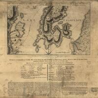
In addition to showing the attack and defeat of the American Fleet under Benedict Arnold, the map also shows notes related to British and rebel naval forces.
Benedict Arnold, by the Kings fleet commanded by Captn. Thos. Pringle, upon Lake Champlain, the 11th of October, 1776.
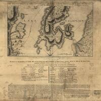
The map demonstrates the geography of Valcour Island in the defeat of the American fleet held under control by Benedict Arnold by British commander Captain Pringle.